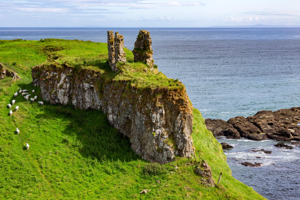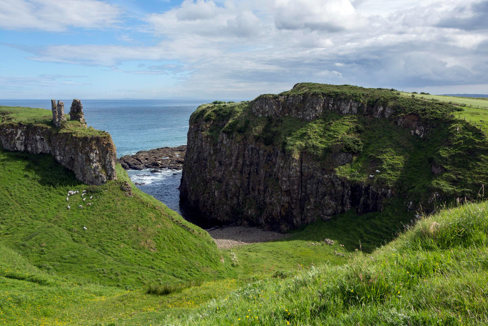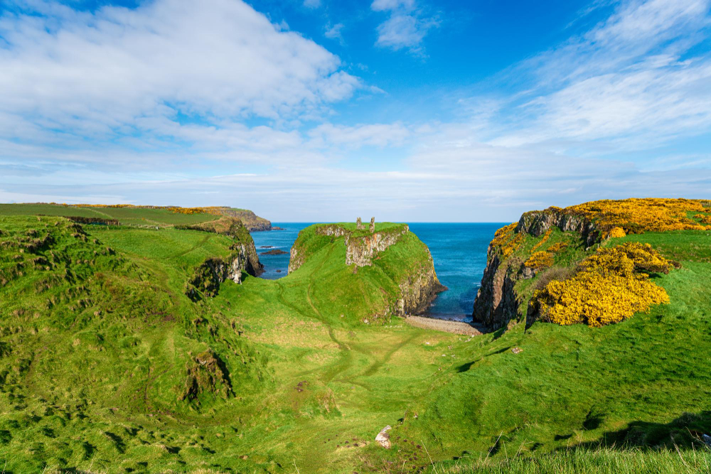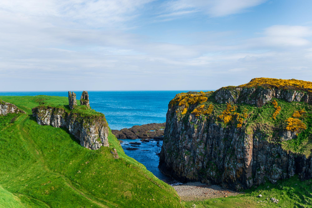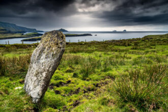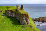
High above the dark basalt cliffs of Northern Ireland’s Causeway Coast lie the few, unassuming remains of Dunseverick Castle. Anyone walking the coastal path between the Giant’s Causeway and Dunseverick Harbour today might almost overlook the site: a grass-covered rocky outcrop, earthworks, remains of walls and the constant wind from the Atlantic. Yet it is precisely this apparent emptiness that is deceptive. For many centuries, Dunseverick was a strategically significant site: a possible terminus of an ancient royal road, the setting for early Christian traditions and, later, a contested stronghold of local rulers. The ruin in County Antrim is not a castle in the romantic sense, with high towers, state rooms and preserved walls. Rather, its history lies in the landscape itself: in steep cliffs, natural rock barriers and man-made ramparts. Dunseverick Castle is thus a prime example of a series of Irish coastal fortifications whose significance is evident not only in the visible structures but also in their exceptionally well-chosen location.
A fortress of rock, earth and sea – Dunseverick Castle is situated near the small village of Dunseverick on the north coast of County Antrim in Northern Ireland. The site lies on a narrow promontory jutting out into the sea, composed of basalt – the volcanic rock that also characterises the famous formations of the nearby Giant’s Causeway. The Atlantic Ocean borders the site on several sides; meaning that access from the mainland was, by its very nature, narrow and easily controlled. Such headlands were already ideal sites for fortified settlements in prehistoric times. Attackers could only approach via a few access points, whilst the inhabitants overlooked the coast, the sea and possible routes inland from elevated positions. At Dunseverick, people supplemented these natural advantages with earthworks and ditches. Archaeological evidence points to an Iron Age promontory fort. This means that the site’s use dates back considerably further than the later medieval wall remains. Today, Dunseverick Castle is protected as a Scheduled Historic Monument. This classification underlines its archaeological and historical significance, even though little more than fragments of the original structures remain. The site is situated in the townland of Feigh within the Causeway Coast and Glens District Council area. The promontory and its ruins have belonged to the National Trust since 1962. Local farmer Jack McCurdy had donated the land to the organisation, thereby securing it permanently for public access and heritage conservation.
At the end of the Slige Midluachra – Dunseverick’s connection to Ireland’s ancient transport routes is particularly fascinating. The site is traditionally regarded as the northern terminus of the Slige Midluachra, one of the five great royal roads of early medieval Ireland. These so-called “slighe” were not roads in the modern sense, but important routes linking political centres, regions and significant settlement areas. The Slige Midluachra is said to have run south from Dunseverick – via Emain Macha, the important centre of power in what is now County Armagh, as far as the area of Tara. For a long time, Tara was a symbolic and political centre of Gaelic Ireland. Tradition also links the route to a ford across the River Liffey in what is now Dublin. Whether this road actually existed as a continuously developed link throughout all periods cannot be conclusively proven archaeologically for every section. Nevertheless, tradition demonstrates the status Dunseverick held in historical memory. A place at the end of a royal route was not merely a remote coastal outpost. It could be seen as a gateway to the sea, a trading centre, a military outpost and a symbolic gateway to the north. Its coastal location is also likely to have facilitated contacts across the North Channel. Scotland is not far from Antrim, and for centuries the waters between Ireland and the west coast of Scotland served more as a connecting space than a dividing boundary. People, goods, warriors and political alliances moved across the sea.
St Patrick’s visit – In early Christian traditions, Dunseverick appears as a place of special religious significance. St Patrick is said to have visited the fortress in the 5th century. There, he is said to have baptised a man named Olcán, who later became a bishop. This story is one of the many traditions associated with St Patrick that are linked to places throughout Ireland. Such traditions must be read with historical perspective. The written biographies and legends of St Patrick were, in some cases, recorded long after his presumed lifetime and combine verifiable historical kernels with religious interpretation. Nevertheless, the account of Dunseverick is valuable: it makes it clear that the site was already regarded as an important centre of power in early Christian memory. In such stories, Patrick is not led to remote, insignificant regions, but to local rulers and their centres of power. The connection between the fortress and Christianisation is no coincidence. The spread of Christianity in Ireland did not take place solely through monasteries and remote church sites. It was also linked to the political networks of the time. Anyone who reached an influential seat of power could exert far-reaching influence at a local level.
Kings, Seafarers and the Tradition of the Coronation Stone – Another line of tradition links Dunseverick to the world of the Irish-Scottish kingdoms. In the second half of the 6th century, the site is said to have been associated with Fergus Mór mac Eirc, a figure who appears in Gaelic tradition as King of Dál Riata. Dál Riata encompassed territories in north-eastern Ireland and western Scotland. Its history illustrates just how closely the two coastal regions were intertwined, both politically and culturally. Fergus is also associated with a particularly famous, yet difficult to verify, tale: the transfer of the Lia Fáil, the legendary coronation stone, from Ireland to Scotland. In later traditions, this stone was linked to the Scottish royal coronation and ultimately to the Stone of Scone. However, the historical evidence for individual stages of this narrative is uncertain. What is certain, above all, is that the legend places Dunseverick within a wider Gaelic sphere of memory – a sphere in which sovereignty, lineage, sea routes and sacred symbols were closely intertwined. It is precisely in places such as Dunseverick that history and legend often blur. This does not mean that the narratives are without value. They reveal the significance that later generations attributed to a place. But they should not be confused with established facts. Archaeological finds, contemporary written sources and later traditions must be distinguished from one another.
Viking raid and medieval power struggles – A Viking raid on Dunseverick is recorded for the year 870. This fits within the period when Norse warriors and settlers exerted considerable influence along the coasts of Ireland and Scotland. Monasteries, trading centres and fortified settlements were repeatedly targeted by raids. Whilst a fortress by the sea offered defensive advantages, it was at the same time particularly vulnerable to attackers with fast ships. During the High and Late Middle Ages, Dunseverick remained a centre of power. Between around 1250 and 1350, the site belonged to the Earls of Ulster. This powerful Anglo-Norman dominion shaped large parts of the north of Ireland. Subsequently, Dunseverick became associated with the O’Cahans, a prominent Gaelic family in Ulster. Later, the site came under the influence of the MacDonnells, whose history is in turn closely linked to the connections between Antrim and the Scottish islands. The succession of these families and lordships tells the story of a region that was never isolated. Antrim was at once a borderland, a coastal zone and a centre of power. Gaelic noble clans, Anglo-Norman lords, Scottish-Gaelic dynasties and, later, English and British state power all converged here.
Destruction in the 17th century – Dunseverick’s days as a militarily viable fortress came to an end in the 17th century. During the violent conflicts in Ireland, the complex was captured and destroyed in 1642 by troops under General Robert Monro. The wars of that period – characterised by uprisings, religious tensions and clashes between Irish, Scottish and English forces – left severe devastation in many parts of Ireland. Further destruction followed in the 1650s in connection with Cromwell’s campaigns. In the end, very little of the castle remained. A small residential tower survived until 1978, before it too was lost to advancing coastal erosion and the force of the sea. This fate is by no means an exception on the Causeway Coast: the cliff landscape is impressive, but constantly shifting. Rain, frost, wind and the surf are constantly reshaping the coast. The fact that Dunseverick appears so fragmented today is therefore itself part of its history. The ruins were reduced not only by wars, but also by centuries of natural erosion.
A place to explore on foot – Dunseverick Castle is best understood not as a single structure, but as a historical landscape. The Causeway Cliff Path runs past the site, linking it to Dunseverick Harbour to the east and the Giant’s Causeway to the west. Anyone walking there sees more than just castle ruins. They also witness the geological forces that have shaped this coastline, the strategic logic of the headland and the intimate connection between land, sea and history. The few remaining walls may seem modest. Yet Dunseverick is one of those places whose significance extends far beyond what is visible. Iron Age fortifications, early Christian traditions, royal legends, Viking raids, medieval rule and the destruction of modern times are all condensed onto a small patch of basalt overlooking the Atlantic. It is precisely for this reason that Dunseverick Castle holds a special fascination: it is not a fully preserved fortress, but a quiet setting where more than a thousand years of Irish history and memory converge on a windswept cliff.